One of the most time consuming aspects of creating a map is creating the labels. Yet, to be honest, labels are probably one of the most important pieces of most maps. Now, I don’t think I’m going out on a limb when I say that the native labeling tools inside of GeoMedia 6.0 leave “something to be desired”. Before going any further, I did want to note that the labeling tools inside of 6.1 are better…but they still leave a lot to be desired. So outside of the native GeoMedia labeling tools (and a lot of manual user interaction), what else is out there to make the labeling job easier? MapText’s Label-EZ, Label-Edit, and as of very recently, Geolabel.
Label-EZ is MapText’s flagship product. You can think of it in a way as GeoMedia’s native labeling tools on some really strong (and I mean strong) steroids. A Label-EZ job is divided into two components
- Specification file – This is where you define the layers to be labeled, the attribute columns that will be used for the label contents, the scale of the map, where to place the text (output warehouse), the style properties of the labels for each feature class, along with many other settings.
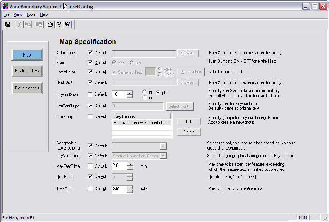
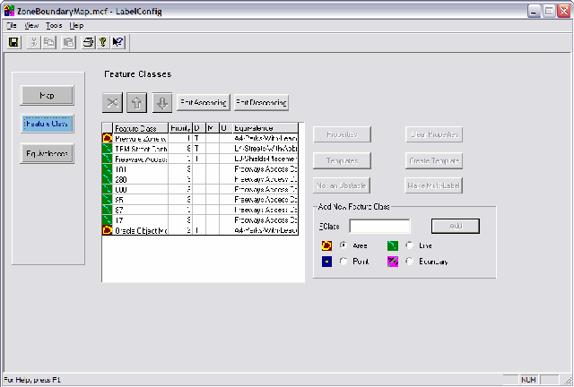
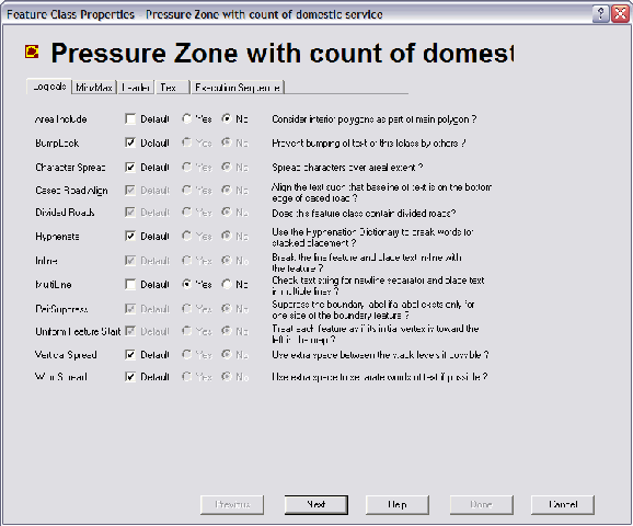
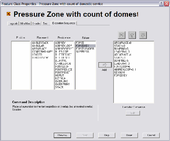
- Configuration file – This is where you set the rules on how to label each feature class you’ve defined in the specification file. And let me tell you, there are quite a few rules you can modify to fine-tune the labeling for any feature class on the map. Here are a few screenshots of the LabelConfig utility (the utility used to create and modify the configuration file)
From taking a fast look at the screenshots, you can fairly easily tell that there are a ton of options. Now although there are a ton of options, MapText includes very helpful inline help so that you know what each option does either before or as it’s selected. Furthermore, the product is delivered with a 150 page manual that goes into even more detail. Additionally, MapText delivers a few “common” templates that can be selected for general labeling of different types of features. For instance, for area features, you have the option of four different templates:
- Parks
- Parcels
- Curving-Placement
- Parks-with-Leadering
Here’s a description of the parks template:
This template will exhaustively attempt to place the text inside, outside, or partially inside the park.
To be continued….


Very interesting, but pictures are too scaled. Can you put the dialog screenshots in the natural scale, so text on them would be readable? It would help to fight my curiosity. Thanks!
Sergey,
I don’t want to put full resolution on the actual posting as it may take too long to load for some folks. So I have put medium size on the home page (it was small). However, now when you click on the image, it will bring up the full resolution screenshot. Hopefully this is a good compromise….
Jeff
Hi Jeff-
I looked at label ez several years ago and choked on the price of that product….last fall I did some beta testing of a MapText product called GeoLabel Pro that uses a reduced set of Label EZ tools to generate decent label output inside GeoMedia. Much more attractive pricing for those of us on a limited budget. 🙂
Jim
I use Label-Web on our GIS site and GeoLabel for Geomedia Professional. This has saved me alot of time and head aches, and the labelling looks very professional. We used the static ouput option in GeoLabel for our AVL site, which works well. This allows you to output an entire dataset of labels at any given scale.
I have found their support to be very knowledgable and easy to get a quick response.
Sorry, here is the url for the GIS site http://gis.fairfield-city.org/webmap
I sure would like the code that you have for lat/long.
We have wanted to switch between northing/easting and latitude/longitude.
Please let me know.
Jeff, thanks! It works great for me!
In large part we purchased Label-EZ because I really want to look into replacing a manual labeling for our mapbooks. Furthermore, we purchased a water utility in Texas and they (now) have a mapbook I’ve generated using batch plotting – but again only text that’s done with GeoMedia. So the quality just won’t fly over 400 maps. GeoLabel won’t support mapbook creation which is one drawback for us.
I just pulled down GeoLabel to evaluate. Once I’ve played with it some, I’ll post my thoughts on the blog. Yes, I definitely agree, the cost of Label-EZ is hard to swallow. However I really do believe it pays for itself fairly fast. Especially if you’re using it alot.
Couldn’t agree more – their support is second to none.
Is there any open source MapBook product out there that anyone knows of? Thanks
Amit – Depends. If you’re talking the GeoMedia suite, then I don’t know of any. However the functionality is just part of GeoMedia Pro and the batch plotting utility. So you really don’t need anything but GeoMedia Pro. If you’re talking ESRI, then yes, the majority of the code on the ESRI ArcScripts site is open source. There is an open source mapbook utility that many people like very much.
If you’re talking open source on the GIS side, I’m not sure.
Hi Jeff, the products that my colleague tested had labelling which sucks big time, the product used ESRI as a backend. Obviously, this is a niche market for the heavy hitters. Label-EZ looks to be too expensive, so my question. Which open source mapbook utility are you talking about? Please elaborate.
Amit,
If you’re referring to my reply from 02/25, I don’t personally use the utility. I’ve just heard about it numerous times from different people. I would assume it would be available from http://arcscripts.esri.com. Again, it’s going to require an ESRI back end and as far as I know doesn’t cover labeling at all. It’s more for creating the physical mapbook sheets.
If you’re speaking only about labeling (referencing my reply on 01/16 where I reference labeling for mapbooks. That’s just for label generation. We’re still using GeoMedia Pro’s batch plotting utility to create the physical mapbook sheets. Label-EZ creates the text/labels on a grid by grid basis. Batch plotting creates the actual mapbook pages.
Am I missing something in your question or does this help explain it better?
Jeff,
Now that is more clear! I have never used batch plotting to create mapbook pages in GM.
What I actually meant to say was that labeling is insufficient for dense street networks in the selected utility. If we zoomed in sufficiently then labels would show up, but we would have to reduce the font size, and it would significantly blow up the pages.
The batch plotting utility is fantastic for creating many types of mapbooks. I would definitely recommend it if you have the need.
Labeling is another issue altogether. Label-EZ might cost quite a few dollars, but if you have the need…there’s nothing better…especially not from Intergraph directly. Unfortunately 🙁